


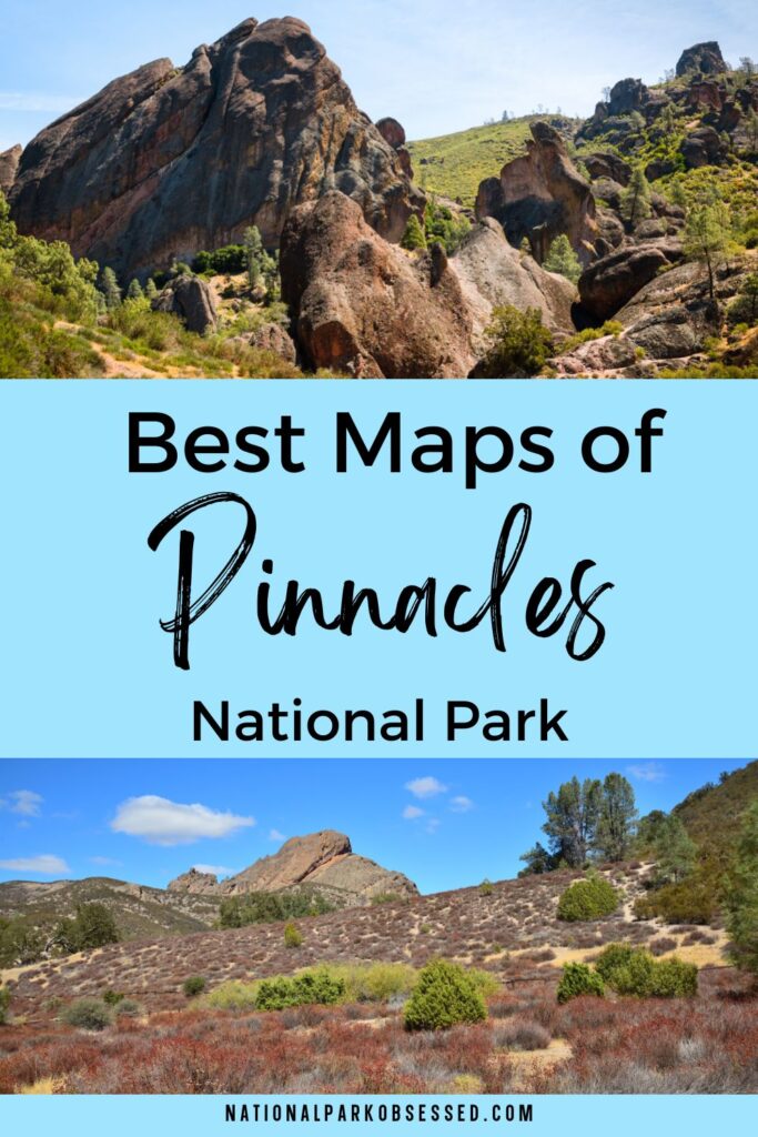
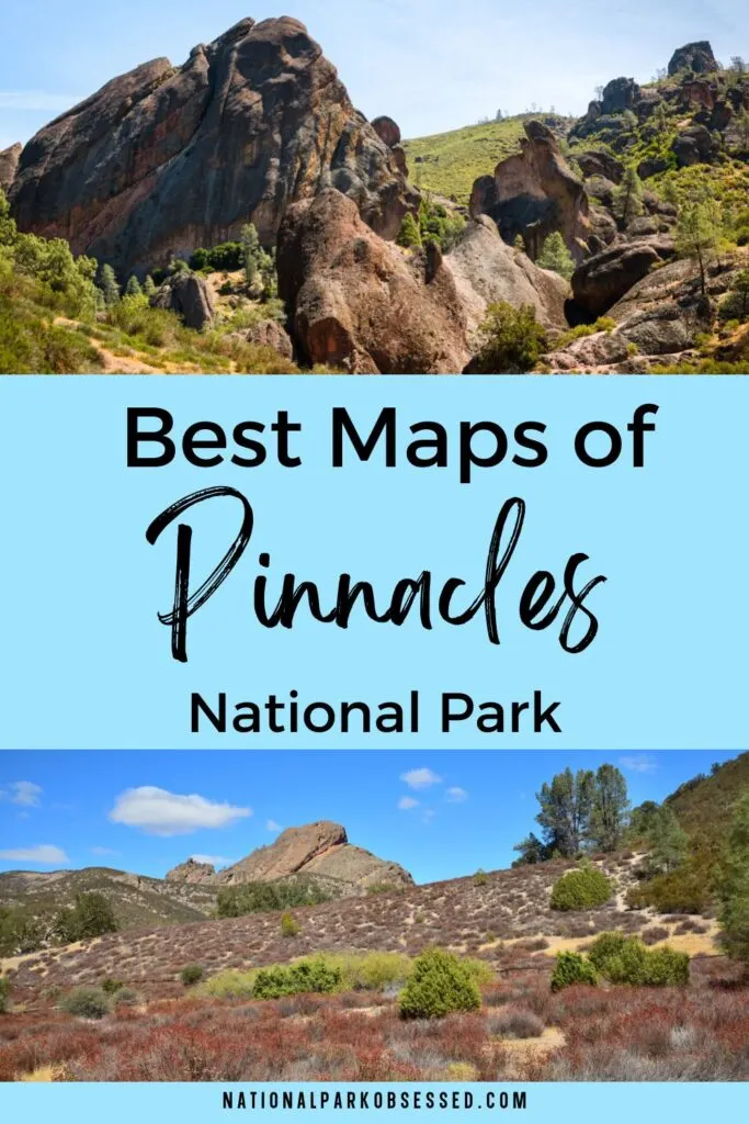
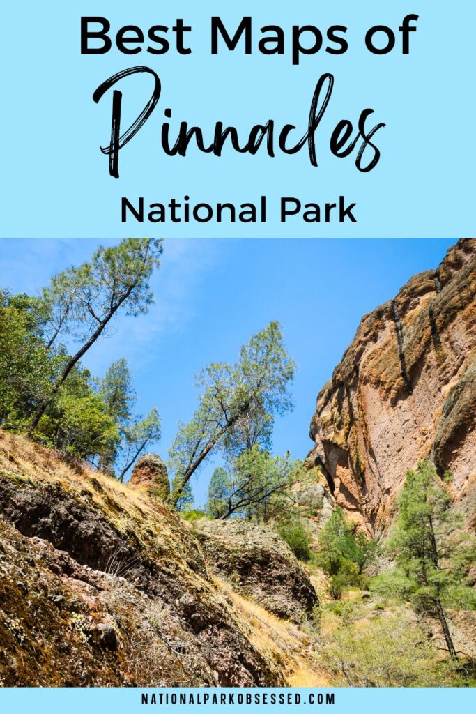
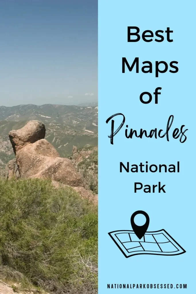
Post Summary: Pinnacles National Park Maps
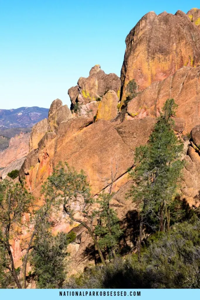
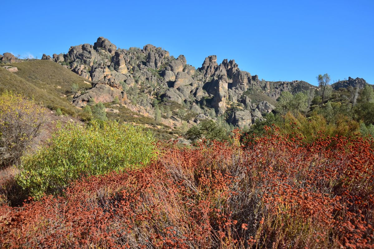
Looking to explore the ancient remains of a volcano now known as Pinnacles National Park. The towering eroded remains of this volcano make an impressive centerpiece for one of the newest National Parks in the United States.
The park’s most impressive claim to fame is that it is one of the release sites for the formerly extinct-in-the-wild California Condors. These impressive birds are regularly seen flying around the park. The park is also prime habitat for prairie falcons.
In this article, you will find every map of the Pinnacles National Park you might need. We have compiled about 8 Pinnacles National Park maps for you to view and download. You will find trail maps, campground maps, and a range of other maps for you to view and download.
Best of Pinnacles National Park in a Nutshell
- Best Things to Do: High Peaks Trail, California Condor Watching
- Best Time to Visit: The best time to visit is spring (the most popular time to visit) or fall. The temperatures are cooler, and the park facilities will be open, including the shuttle.
- Entrance Fees: The entrance fee is $30 per vehicle or free with the America the Beautiful National Park Pass. This $80 pass is valid for 12 months and includes over 2000+ federal lands for free.
- Make sure you have a National Park Passport: Here is my favorite National Park Passport.
- How to Get There: The only way to reach the park is to drive. You will need a vehicle to reach the park. Browse for deals on rental cars at RentalCars.com. Or rent an RV or campervan with RVshare or Outdoorsy.
- Best Airports: The closest airports are located in San Jose (SJC), Fresno (FAT), Oakland (OAK), or San Francisco (SFO). Use Skyscanner to get the best prices on your flights.
- How to Get Around: The park has an east side and a west side. Both sides have access to the most popular Pinnacles hiking trails. There is NO road connecting the two sides. There is limited parking. On the east side, there is a shuttle from the visitor center to the Bear Gulch trailhead.
- Where to Stay: The best place (and only) near the park is the Motel 6 Soledad. It is located on the west side of the park. If you are camping, there is a campground with RV & Tent sites along with small cabins on the east side of the park with a pool.
- Don’t forget travel insurance: I get my travel insurance through World Nomads.
- Nearby National Parks: Yosemite, Kings Canyon, Sequoia, Channel Islands, Lassen Volcanic, Death Valley, Joshua Tree, Redwoods
New to National Park Trip Planning? Check out the Ultimate National Park Planning Bundle to help guide you through planning a trip to the National Parks.
This post may contain affiliate links, meaning if you book or buy something through one of these links, I may earn a small commission at no extra cost to you! Read the full disclosure policy here

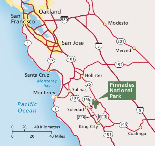
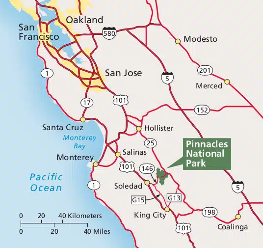
Map of Pinnacles National Park & Surronding Area
Pinnacles National Park is located in California.
Regional Map of Pinnacles National Park
Pinnacles National Park Maps
Pinnacles Maps From Park Brochures
Complete Pinnacles Map
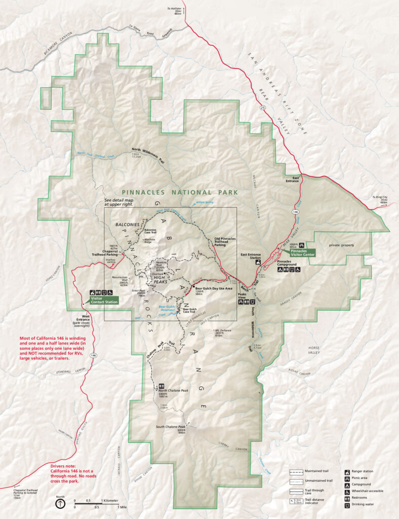
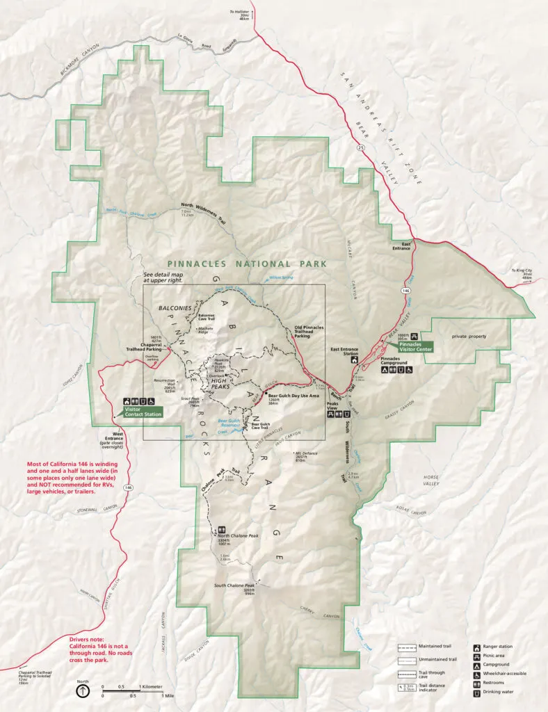
Detailed Map of Pinnacles National Park

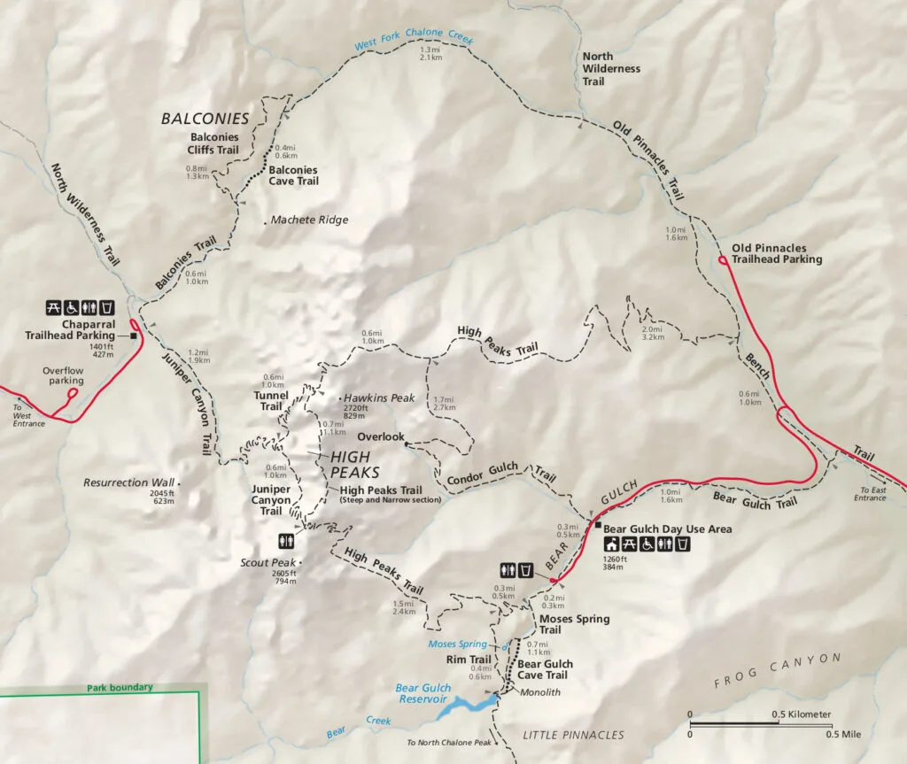
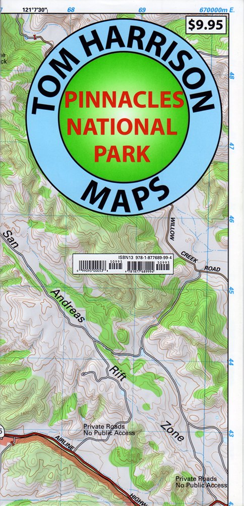
Best Pinnacles Maps for Hiking
Pinnacles National Monument Trails Map by Tom Harrison Maps

National Geographic Trails Illustrated Map of Pinnacles

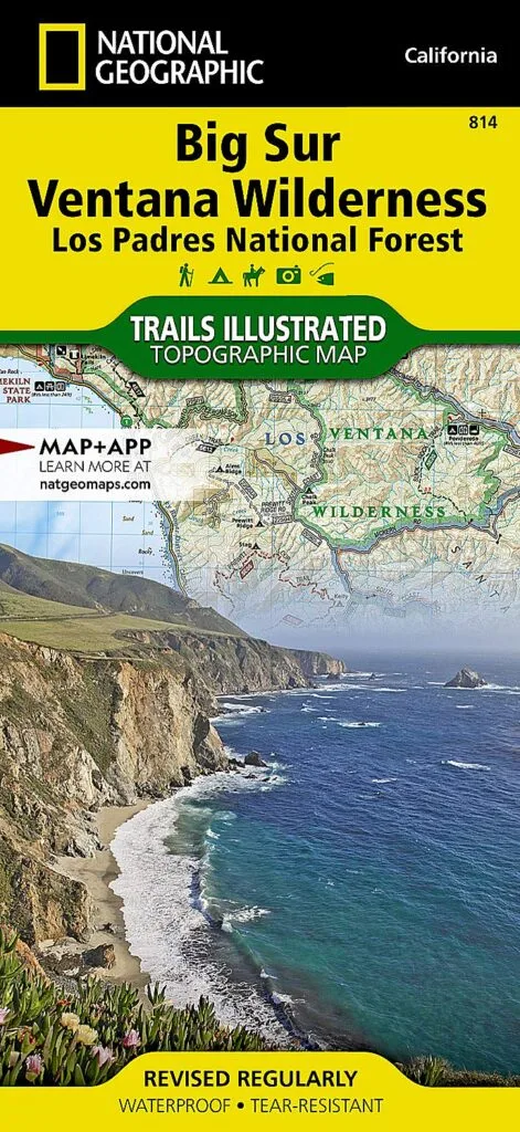
The National Park provided maps are good maps to get you an overview of the park, but they shouldn’t be used for more than cursory navigation. If you are planning to do any off-trail hiking or just want a more in-depth look at the park, this map is for you. The detailed Glacier Bay National Park map includes ocean depths and topographic lines.
>>> Get the National Geographic Trails Illustrated Map Here
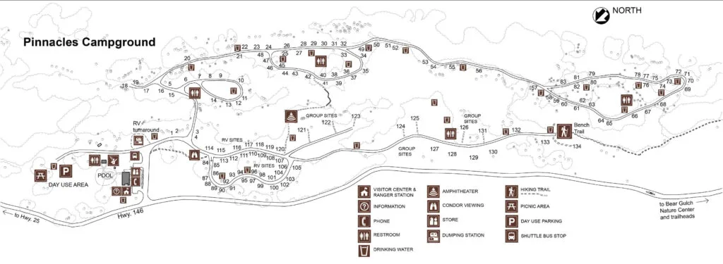
Pinnacles Campground Map

Various Maps of Pinnacles
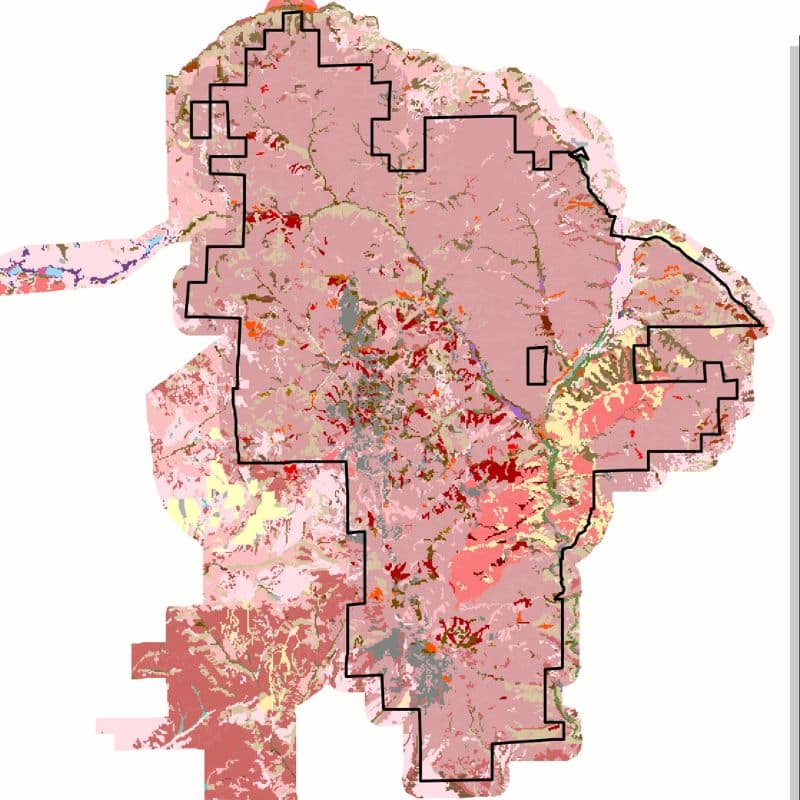
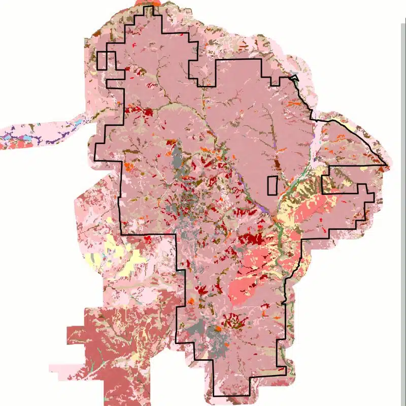
Pinnacles Vegetation Map
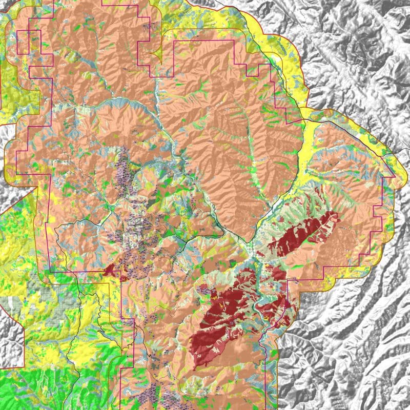
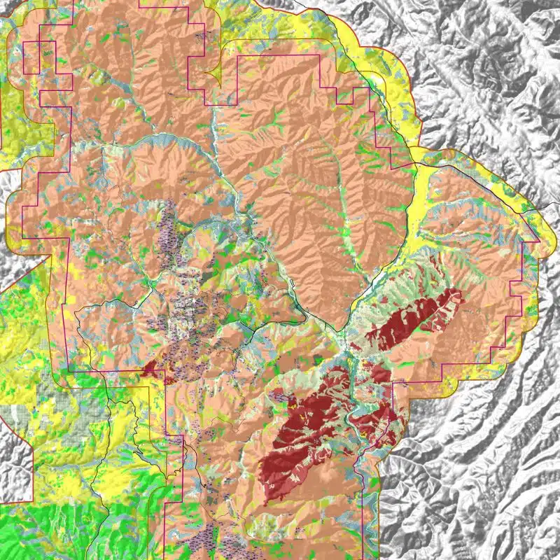
Pinnacles 3D Vegetation Map
Pinnacles Lodging Maps
Final Thoughts on Pinnacles National Park Maps
We hope you have found the Pinnacles National Park Map you were looking for. Share your favorite Pinnacles memory in the comments below. Then join us in talking about all things National Parks in our National Park Trip Planning Community on Facebook.
More Information for your trip to California
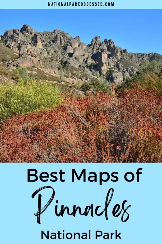
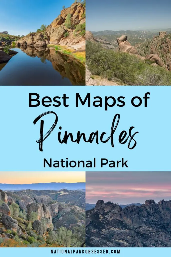
Pin for Later: Best Pinnacles National Park Maps for 2022