By Michael Lanza
Imagine this: You’re heading out on a long, beautiful hike deep in the backcountry, but instead of a full backpack, you carry a light daypack. You’ve avoided hassles with getting a backcountry permit and there’s no camp to set up and pack up. I love backpacking—and I do it a lot. But sometimes, I prefer to knock off a weekend-length—or longer—hike in one big day.
A completely different way to experience a hike, walking 15 to 20 or more miles in a day feels liberating in how lightly you travel and how much ground you can cover. The following list of 15 hikes represents the very best long—and huge—dayhikes I’ve taken over more than three decades of hiking all over the country, as a longtime field editor for Backpacker magazine and running this blog.
I’ve taken huge dayhikes many times simply because I had just one day free and wanted to see as much as possible. But there are some long stretches of trail that, to me, just cry out to be hiked in a day—for aesthetic reasons and because the length and access are just right and the scenery top shelf. The hikes on this list possess those qualities.
If you have a favorite long dayhike that you think belongs on this list, tell me in the comments section at the bottom of this story, and I’ll try to get to it. Or just tell me what you think of my list. I try to respond to all comments.
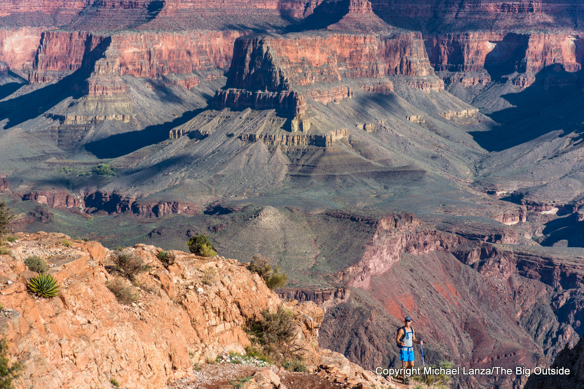
The Grand Canyon Rim to Rim to Rim
Arguably the granddaddy of ultra-dayhikes, traversing the Grand Canyon from the South Rim to the North Rim and back again constitutes not only the most demanding stroll on this list, but a mind-blowing, top-to-bottom tour of one of Earth’s most magnificent and unfathomable natural features—twice in one day. By its shortest route (depending on which trails you use), the r2r2r, as it’s known, is 42 miles round-trip with a cumulative elevation gain and loss of over 21,000 feet.
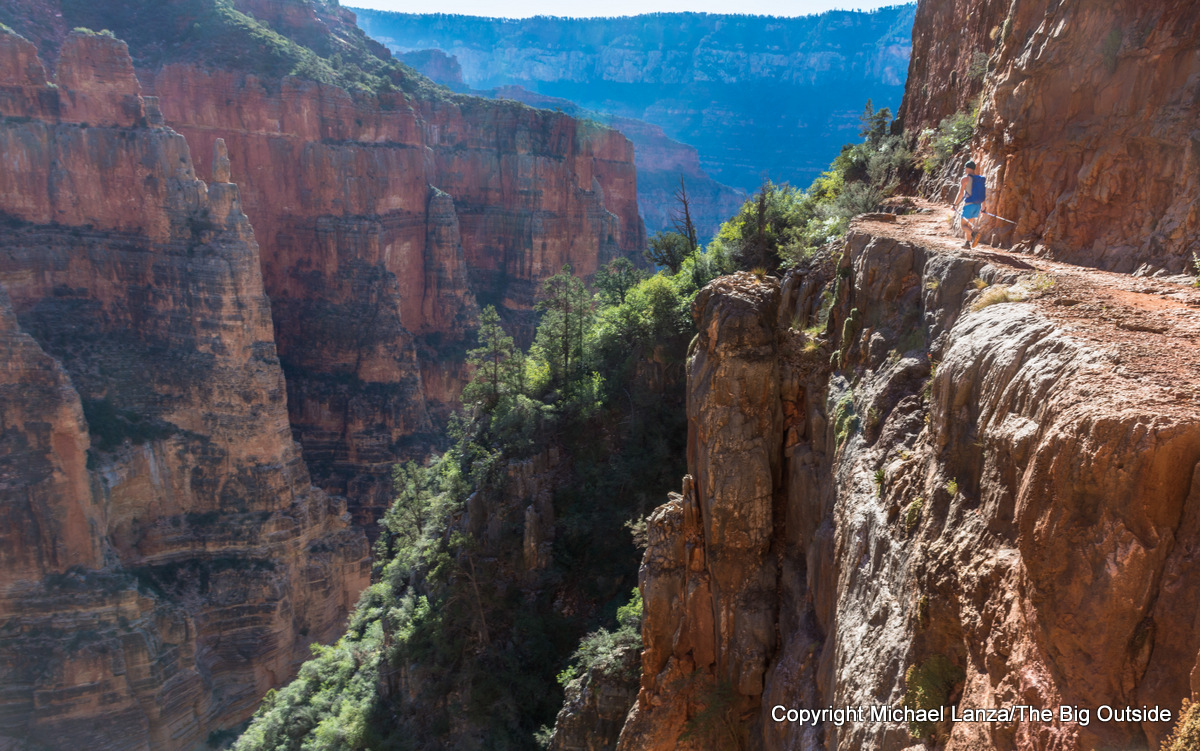
Backpacking the route requires obtaining one of the most hard-to-get backcountry permits in the National Park System, so if you possess the fitness and skills to knock it off in a day, that may offer your best chance of actually doing it. Of course, the shorter (and perhaps saner) alternative is to hike across the canyon in just one direction, halving the distance, using available shuttle services to travel between the rims before or after your hike (depending on your lodging arrangements).
I hope it goes without saying that this is an extremely arduous undertaking in an extreme environment and should only be attempted by very fit, experienced desert hikers: Every time I’ve done it, I’ve seen a surprising number of people attempting to hike it in just one direction (rim to rim) suffering mightily.
See my stories “Fit to be Tired: Hiking the Grand Canyon Rim to Rim in a Day,” “How to Hike the Grand Canyon Rim to Rim in a Day,” and “A Grand Ambition, Or April Fools? Dayhiking the Grand Canyon Rim to Rim to Rim,” and all of my stories about the Grand Canyon at The Big Outside.
Click here now for my expert e-guide to hiking the Grand Canyon rim to rim!
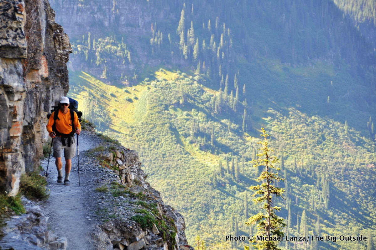
Logan Pass to Many Glacier, Glacier National Park
Take one of the prettiest moderate-length dayhikes in the National Park System—Glacier’s Highline Trail—and tack on waterfalls, a view from above a glacier, and a walk down a valley flanked by peaks, and you have the 16.4-mile, point-to-point traverse from 6,646-foot Logan Pass on the Going-to-the-Sun Road to Many Glacier, via Swiftcurrent Pass. This hike delivers uninterrupted views of the park’s jagged peaks and cliffs, and there’s a good chance you’ll see bighorn sheep and mountain goats. The distance includes the optional but very worthwhile side hike—1.2 miles and a steep 1,000 feet—to the Grinnell Glacier Overlook, a notch in the long cliff known as the Garden Wall.
See my stories “The 8 Best Long Hikes in Glacier National Park” and “Descending the Food Chain: Backpacking Glacier National Park’s Northern Loop,” and all of my stories about Glacier National Park at The Big Outside.
Do you want to backpack in Glacier? Go to my E-Guides page for a menu of all of my downloadable, expert e-guides, including to two five-star trips in Glacier.
Find your next adventure in your Inbox. Sign up for my FREE email newsletter now.
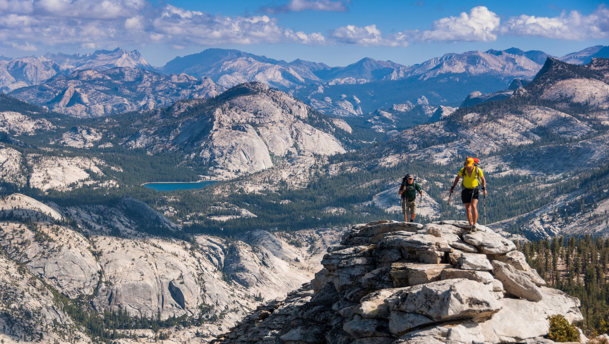
Tenaya Lake to Yosemite Valley, Yosemite National Park

From the post-card view of the granite domes and cliffs flanking Tenaya Lake, to two of Yosemite’s finest summts and two of its most spectacular waterfalls, this 21-mile traverse hits many of the park’s best and most famous landmarks.
After admiring the view from Tenaya Lake’s southwestern shore, hike up 9,926-foot Clouds Rest, culminating with its gripping, sidewalk-width summit ridge, with a drop-off of several hundred feet on the left and a cliff on the right that falls away a dizzying 4,000 feet—a thousand feet taller than the face of El Capitan.
Then comes Half Dome’s thrilling cable route (lead photo at top of story)—for which you need a permit—followed later by a descent of the Mist Trail past 594-foot Nevada Fall and 317-foot Vernal Fall, before finishing at the Happy Isles Trailhead in Yosemite Valley.
See more photos and information in my stories “The 10 Best Dayhikes in Yosemite,” “Hiking Half Dome: How to Do It Right and Get a Permit,” “Best of Yosemite: Backpacking South of Tuolumne Meadows,” and “The Magic of Hiking to Yosemite’s Waterfalls,” and all of my stories about Yosemite National Park at The Big Outside.
Gear up right for a huge hike like this. See the best hiking shoes and the best daypacks.
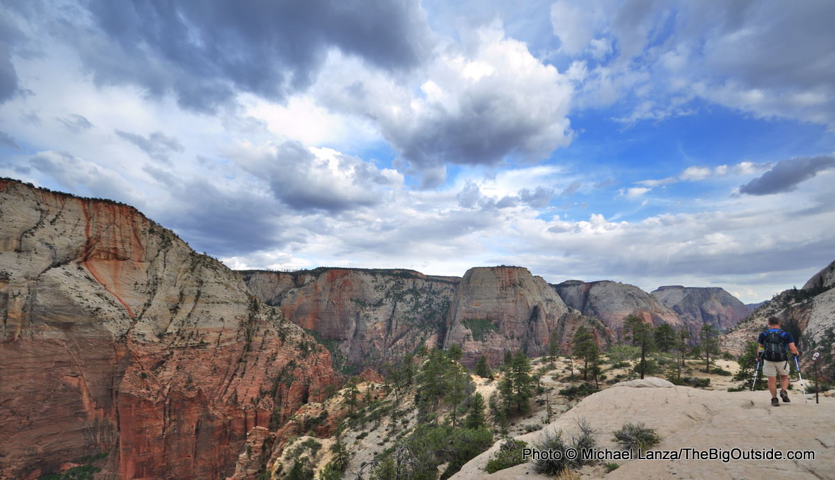

Traversing Zion National Park
Few “dayhikes” on any list of ultra-hikes stretch as long as this—or get as scenic—but the north to south traverse across Zion National Park has earned something of a cult following among uber-fit hikers and ultra-runners.
From Lee Pass Trailhead to East Entrance Trailhead—with a short shuttle-bus ride in Zion Canyon from The Grotto to Weeping Rock—you’ll navigate a 47-mile grand tour of some of the most amazing scenery in the Southwest: deep chasms with burnt-red and white walls, soaring cliffs and beehive rock formations, and edge-of-the-rim walks high above labyrinths of slot canyons.
Throw in a few stunning, short side hikes along the way—Northgate Peaks, Angels Landing, and Hidden Canyon—and you log more than 50 miles on one of the most incredible days of hiking in the entire National Park System.
See my stories “The 10 Best Hikes in Zion National Park,” which provides details about an ongoing trail closure that has prevented completing this full traverse, although it’s still possible to hike about 40 miles of it, and “Mid-Life Crisis—Hiking 50 Miles Across Zion In a Day,” and all of my stories about Zion National Park.
If you like this list, check out “The 25 Best National Park Dayhikes.”
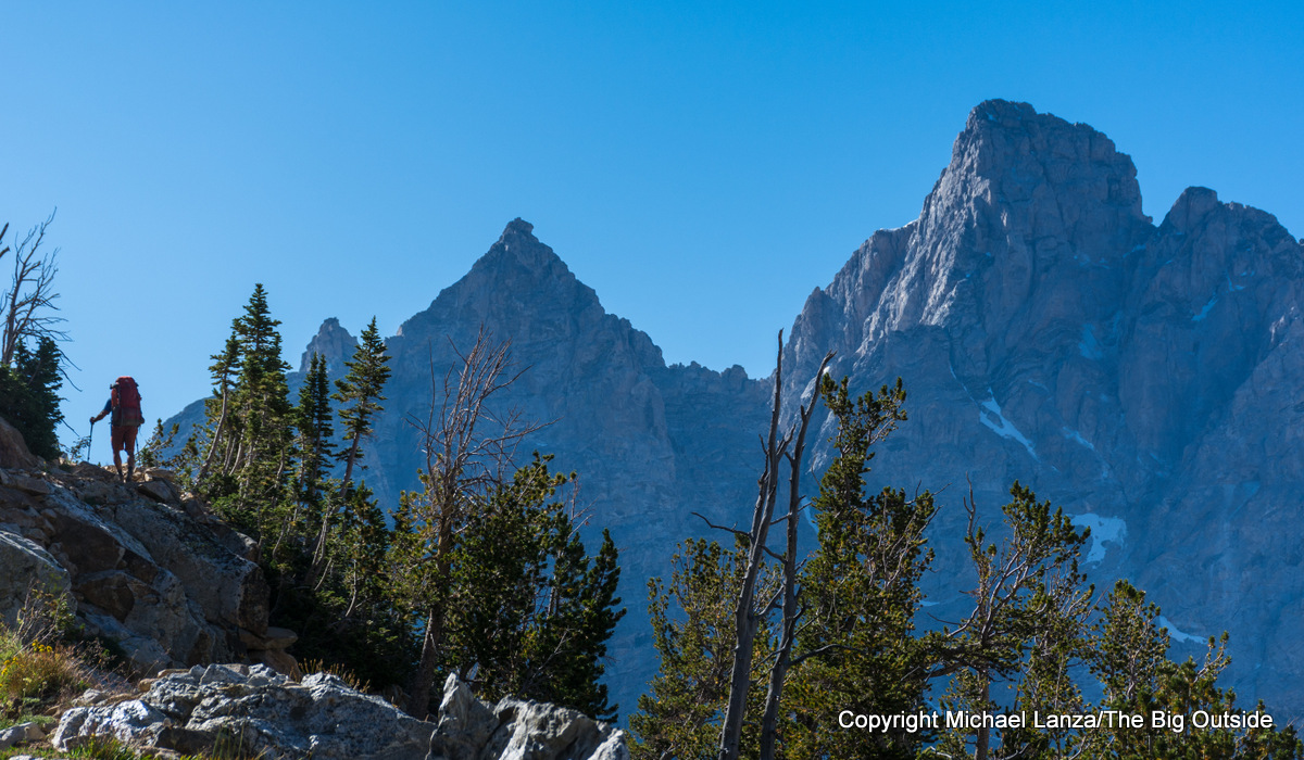
Paintbrush-Cascade Canyons Loop, Grand Teton National Park
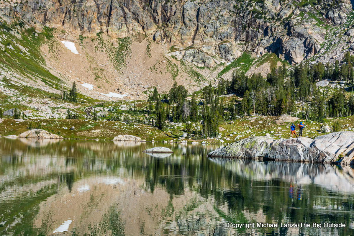
Probably the most popular backpacking trip in the park, the nearly 20-mile Paintbrush Canyon-Cascade Canyon loop from String Lake Trailhead, with a bit over 4,000 feet of elevation gain and loss, sees hikers and runners regularly notching it in a day.
The scenery is classic Tetons: serrated peaks and deep canyons with rock walls soaring thousands of feet overhead, and waterfalls tumbling off those walls in Cascade Canyon. Plus, the loop crosses one of the highest points reached on any trail in the park, 10,720-foot Paintbrush Divide, where the panorama takes in a huge chunk of the Tetons. It also passes cliff-ringed Lake Solitude in the North Fork of Cascade Canyon, where you’re looking straight down the glacier-carved valley at the towering north walls of the Grand Teton and Mount Owen.
See “10 Great. Big Dayhikes in the Tetons” and all stories about Grand Teton National Park at The Big Outside.
Dying to backpack in the Tetons? See my e-guides to the Teton Crest Trail
and backpacking the beginner-friendly loop described above.
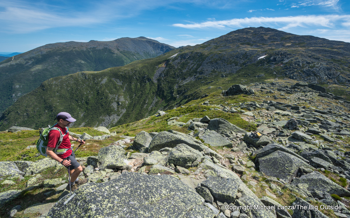
Presidential Range ‘Death March’
This archetypal huge dayhike—the first known traverse dates back to 1882—the 20-mile, 8,500-foot “Death March” of New Hampshire’s Presidential Range remains above treeline for 15 miles, with vistas spanning the White Mountains. And the distance and difficulty hit a sweet spot—within reach for fit hikers, hard enough to fire aspirations, especially given the notoriously rocky and steep character of trails in the Whites.

Starting at one of the trailheads below 5,367-foot Mount Madison (the Air Line and Osgood Trail are personal favorites) and hiking south to Crawford Notch (to tick off the harder, northern summits first), purists tag all nine summits along the way, including the Northeast’s highest, 6,288-foot Mt. Washington—where winds exceed hurricane force an average of 110 days a year, and the average year-round temperature is below freezing, at 27.2° F. Pack some layers.
See my stories “Step Onto Rock. Step Down. Repeat 50,000 Times: A Presidential Range ‘Death March’,” “Big Hearts, Big Day: A 17-Mile Hike With Teens in the Presidential Range,” and all stories about the White Mountains at The Big Outside.
Get ready for your next big hike. See my stories “Training For a Big Hike or Mountain Climb”
and “10 Tricks For Making Hiking and Backpacking Easier.”
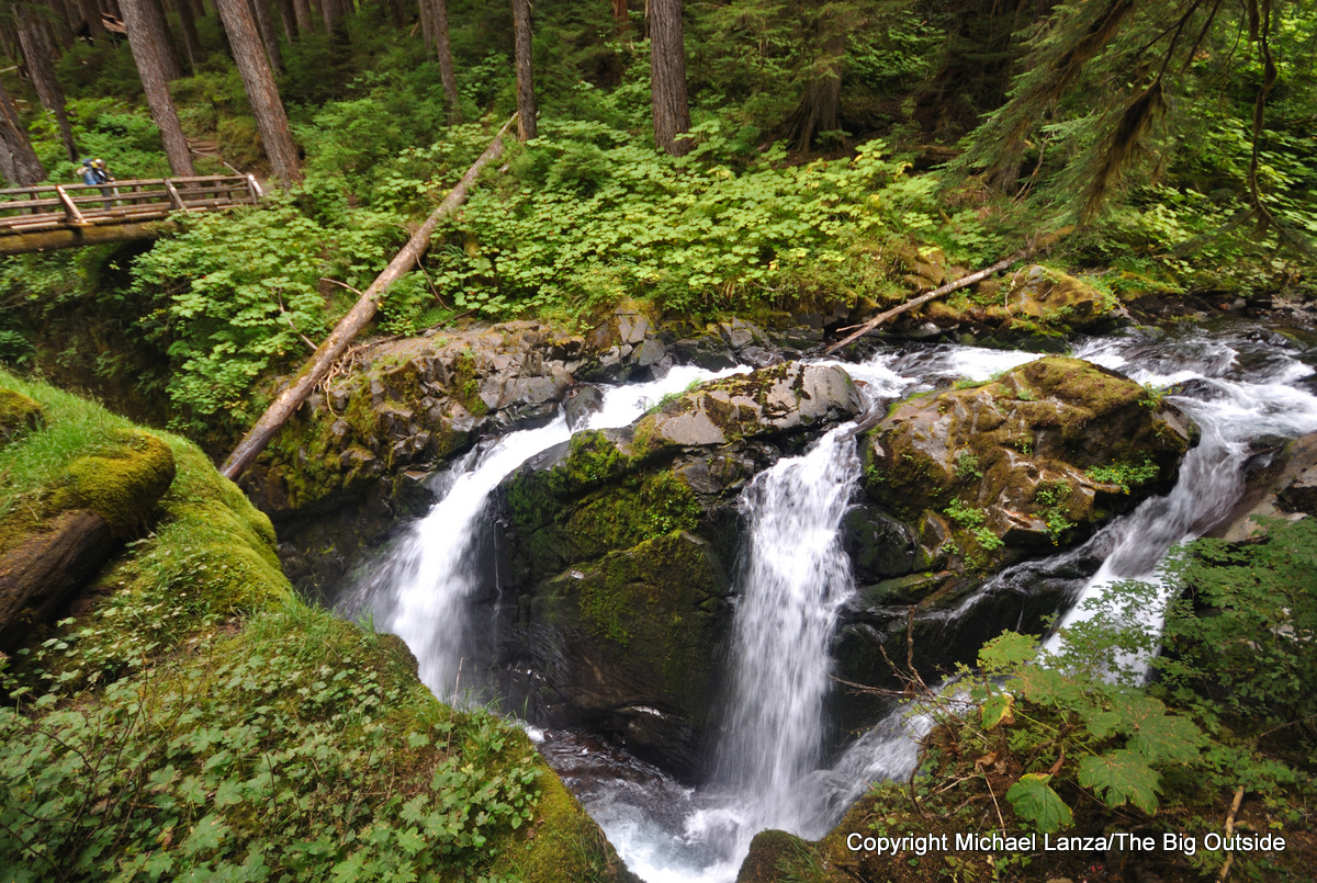
High Divide-Sol Duc Loop, Olympic National Park
Like the above hike, this 18-mile loop with over 3,000 feet of elevation gain is popular with backpackers, but a doable objective for many fit dayhikers—and a great day in a mountain range that’s largely beyond reach to all but backpackers and climbers on strenuous, multi-day outings.
Hiking counter-clockwise, you’ll pass lovely Sol Duc Falls, with its triple columns, and climb through old-growth rainforest to higher meadows carpeted with lupine and other wildflowers. On a clear day, the High Divide Trail’s long alpine traverse delivers views across the deep, lushly green trench of the Hoh River Valley to ice- and snow-blanketed Mount Olympus. After passing beautiful Heart Lake, set in another sprawling meadow, the loop makes a gentle descent below ancient, giant trees along the Sol Duc River. You’re likely to see elk and mountain goats at higher elevations and black bear almost anywhere.
See all of my stories about Olympic National Park at The Big Outside.
Read this entire story and ALL stories at The Big Outside, plus get a FREE e-guide. Join now!
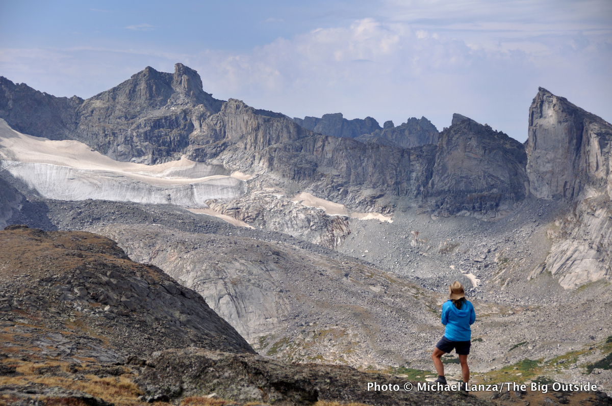
Crossing the Wind River Range
Huge vistas for much of the way, in one of the highest ranges of the Rocky Mountains, are the payoff on this 27-mile, east-west crossing of the southern Winds, from the Bears Ears Trailhead in Dickinson Park to the Big Sandy Opening Trailhead.
With a cumulative elevation gain of about 4,500 feet, this traverse stays above 11,000 feet for many miles, with views of peaks rising above 12,000 feet on the Continental Divide. Don’t pass up the 20-minute, off-trail side trip up 12,250-foot Mount Chauvenet, overlooking a row of peaks that includes Buffalo Peak, Camel’s Hump, and Mounts Washakie and Hooker. But the hike’s highlight is the Cirque of the Towers, a mind-boggling horseshoe of sheer-walled granite peaks standing shoulder to shoulder.
See my story “A Walk in the Winds: Hiking a One-Day, 27-Mile Traverse of Wyoming’s Wind River Range,” and all stories about the Wind River Range at The Big Outside.
